

Palencia is located at 749m of above the sea level, 235km from Madrid, 47km from Valladolid. Due to this, Palencia and Valladolid are the two nearest Spanish capitals to each other. Palencia is situated at the North of Spain, more concretely in the plains of Tierra de Campos.
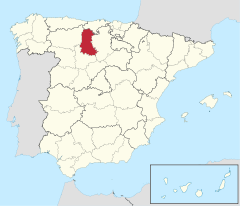
Palencia is connected to all the bordering provinces through a highway.

If you are going to travel to Palencia from Madrid, you would have to take the A-6 highway until reaching Tordesillas (Valladolid). The other option is the A-1 highway until Aranda de Duero (Burgos), then taking the CL-619 until reaching Magaz de Pisuerga (Palencia), and, finally, the CL-610 Palencia direction.
From Burgos, it is through the A-62 / E-80 Valladolid – Palencia direction (the distance is 90 km).
From Santander, it has to be trough the A-67 (distance of 200 km).
From León, you have to take the A-231 Burgos direction. When reaching Sahagún de Campos (León), you have to take the CL-631 Palencia direction (distance of 125 km).
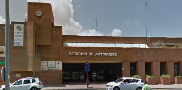
Palencia’s bus station is located in the Pedro Berruguete Street, a few meters from the station of Parque los Jardinillo. It is very close to the downtown, situated just five minutes walking from Palencia’s train station and only ten minutes from Plaza Mayor.
There are three companies operating in this station. Here are the links to its websites:
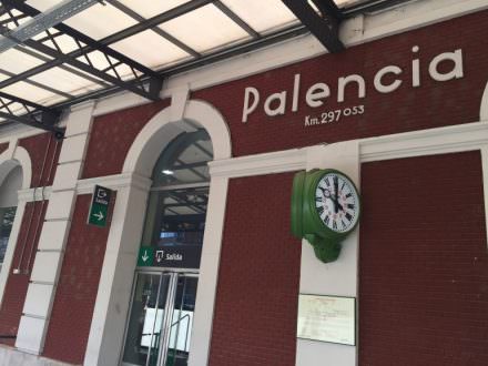
Palencia has a daily communication with Madrid, Valladolid, Santander, Burgos, and León. Moreover, there are the ALVIA trains that going to Palencia every day, with Galicia, Asturias, País Vasco, Barcelona and Alicante as either destination or origin.
For further information, check the RENFE’s website.